Walking country
WALKING COUNTRY
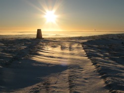
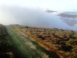
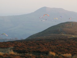
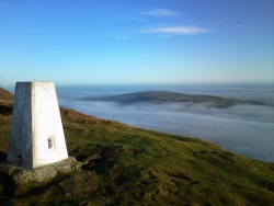
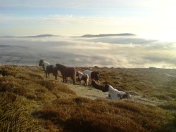
 The map of the Black Mountains is a particularly pleasing one. The many contours make up the shape of a bony old hand, a left hand placed palm down by someone sitting opposite you. Four parallel ridges form the fingers, with the peaks of Mynydd Troed and Mynydd Llangorse constituting the joints of the The map of the Black Mountains is a particularly pleasing one. The many contours make up the shape of a bony old hand, a left hand placed palm down by someone sitting opposite you. Four parallel ridges form the fingers, with the peaks of Mynydd Troed and Mynydd Llangorse constituting the joints of the |
thumb. At the joint between the second and third fingers is the Grwyne Fawr reservoir, up a long no through road. Between the third and fourth knuckles is the one through route, a mountain road that passes up the Llanthony Valley, past the abbey and Capel-y-Fin (‘the chapel at the end’) and up over the Gospel Pass (at 1,880 feet the highest road pass in Wales), before switchbacking down to Hay-on-Wye. Chapter 2, Tair-Ffynnon |
![]()
![]()